Fact Check

Does Photo Show a Satellite View of Hurricane Katrina?

On Aug. 23, 2005, meteorologists identified the storm that would become Hurricane Katrina about 350 miles east of Miami.

Published Dec 9, 2012

Updated Aug 23, 2022
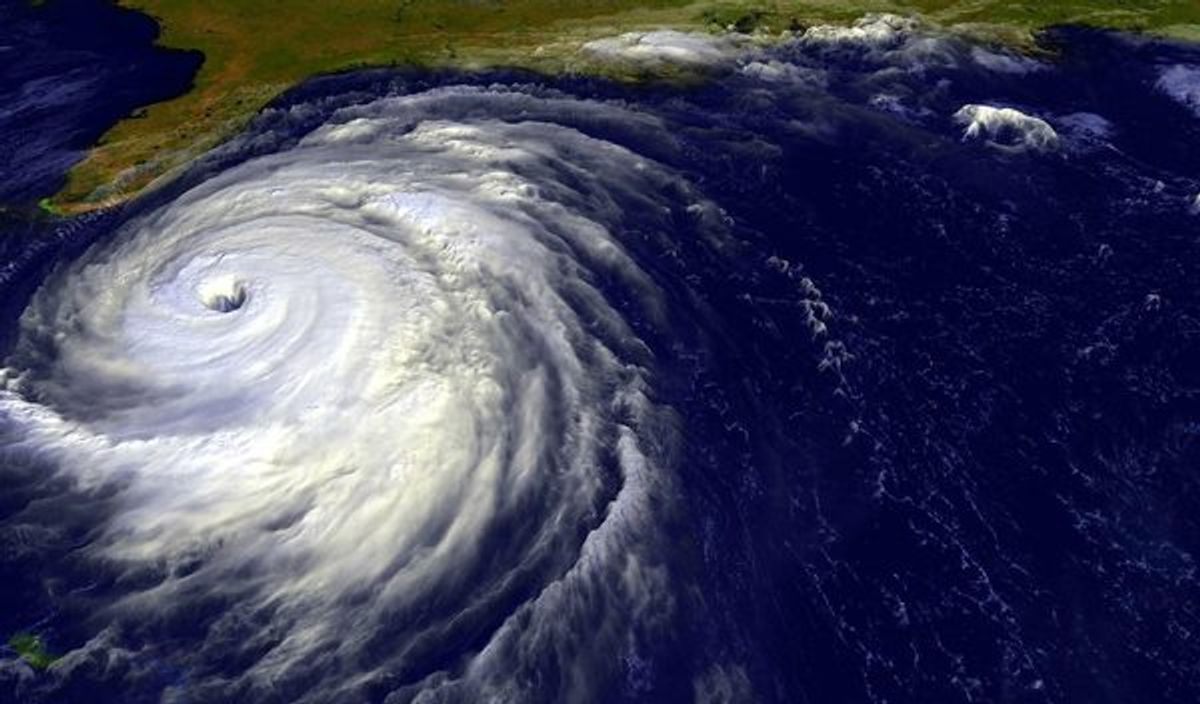
Despite its reputation as an all-purpose storm photograph, this picture is actually a satellite image of Hurricane Floyd from September 1999
Claim:
A photograph shows a satellite image of Hurricane Katrina.

The above-displayed photograph — a satellite-generated image of a weather phenomenon — has to be one of the hardest-working pictures in show business.

In September 2004, it was circulated as a photograph of Hurricane Frances; In December 2004, it was circulated as a photograph of the Indian Ocean tsunami, and, in August 2005, it was circulated as a photograph of Hurricane Katrina.

Despite its reputation as an all-purpose storm photograph, this picture is actually a satellite image of Hurricane Floyd from September 1999. Similar genuine satellite images of Hurricane Katrina (such as this one) can be found on the National Oceanic and Atmospheric Administration's (NOAA) website.
Updates

This article was updated to meet Snopes' current formatting standards on Aug. 23, 2022.

David Mikkelson founded the site now known as snopes.com back in 1994.

Article Tags